
Southern New Jersey has many trail possibilities that offer a flatlander’s viewscape to enjoy. Our friendly topography allows not only for easy walking but for excellent vistas of the South Jersey Delaware Bayshore. A few months ago I enjoyed such a trail.
Between the Cohansey River and Bayside Road in Greenwich there is an area known as Bacon’s Neck. A path called Tyndall Island Trail (alternate spelling Tindall), accessed via Tyndall Island Road, enters a marsh restoration site owned by PSEG. If you continue on Tyndall Island Road it becomes Ragged Island Street, which can be driven or walked.

Each of these stretches is a half-mile in one direction, so if you choose you can get in two miles of hiking.
The Tyndall Island Trail begins within a hardwood swamp. The canopy has shaded out the understory, allowing you to see good-sized hardwoods. There is a pond about 200 feet in from the trailhead on the right; on my visits a kingfisher has staked it out as his territory. If you approach you are likely to hear him chattering.
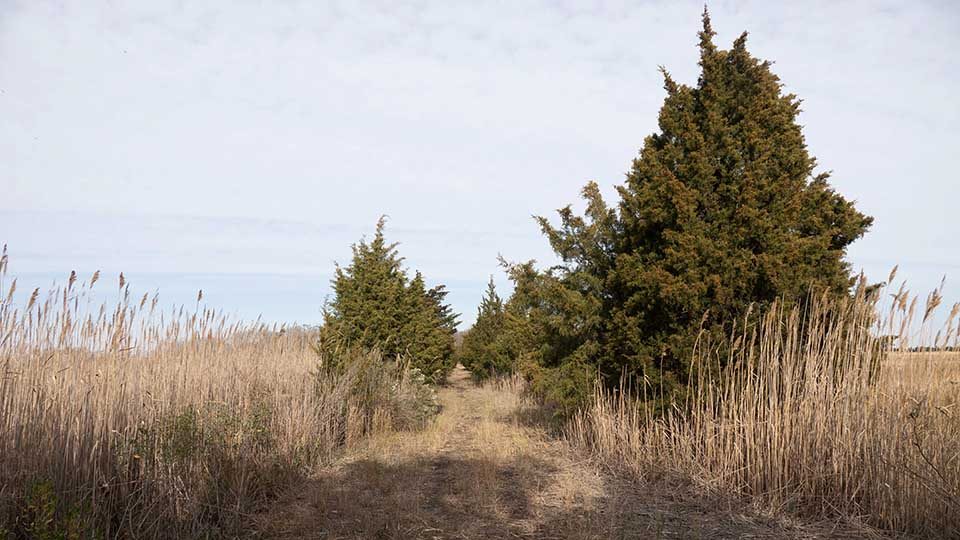
After a quarter-mile the trail is bordered on both sides by a single line of red cedars and then by salt marsh cordgrass, or Spartina alterniflora, as far as the eye can see. The path ends at a former bridge that leads to three islands, one of them being Tyndall. The bridge abutments appear to have been constructed like a corduroy road. In southern New Jersey wetlands, you often find white cedar laid horizontal to the ground for roads or diking. Possibly a sluice went through the center long poles.
The island, shown in the Historical Atlas of Cumberland Co. 1876, was owned at that time by Jas. Griffith.

On a December afternoon, among other birds we observed eagles, waterfowl, robins, blue jays, marsh hawks, kingfishers, chickadees, goldfinches, flickers, and downy and red-bellied woodpeckers, and we saw signs of coyote, deer, and otters. Around 4:30 we heard at least three courting great-horned owls and a screech owl. Depending on the wind you can also catch the sound of the far-off horn of Ship John Light.
The trail is wide and flat and leashed dogs are permitted. Properly dressed I would recommend a visit during the fall and winter, and at any other times when bugs are fewer. Spring should be especially good for migrating birds but you will need to take proper tick precautions. Ragged Island Street is not heavily travelled and you may choose to walk or drive it. At the end is a lovely view of the Cohansey River, 1.5 miles (not river miles, but as the crow flies) from its confluence with Delaware Bay.
While you’re in the Greenwich area don’t forget to drive Ye Greate Street/Rte. 623, for a step back into colonial times. I think you will find these walks an enjoyable experience. Let me know if you visit, and please share your impressions. E-mail me at forrivers@comcast.net.
A bit of history as it relates to Tyndall/Tindall Island
Written by historian Paul W. Schopp, AKA Jerseyman

Tyndall’s, or Tindall’s Island, takes its name from Richard Tindall, its first English owner. Tindall arrived in the New World in 1678 and established his primary plantation as Tindall’s Bowery in the Mannington Precinct, Salem County, and within John Fenwick’s Salem Tenth. By the mid-1680s, he served as an executor of John Fenwick’s estate and also held the office of Surveyor General for the Salem Tenth. He died in January 1698 and his estate inventory included “100 a. at Cohansey, called Tindall’s Island, valued at £8 sterling.” The island stood in an area known as Bacon’s Neck. This property eventually passed out of the family to other owners.
On the eve of the American War for Independence, Tindall Island became a battlefield. In a letter written from Cumberland County on 6 May 1776, an American militia officer stated:
“This serves to inform you of an alarm we had about eleven o’clock this day, of a party of regulars, landing on Tindall’s Island in Bacon’s Neck, about four miles from Greenwich; supposed to be about thirty in number; shooting down the cattle, taking them on board, &c., whereupon I called the militia together as soon as possible, and upon our appearance, a gun was fired from on board one of the vessels, for them to repair on board, which they did with the greatest precipitation. Our men pursued so closely that we were near taking three of them prisoners, one of whom left an excellent musket behind we got with some cartridges.
They hollowed to our men to go on board the King Fisher, and they would pay for the beef. It is supposed they took off between 20 and 30 head of cattle, 5 they left dead on the shore, and wounded many others, which with all the others we have drove from the water side. They have taken this morning a shallop belonging to Daniel Richards, bound from Philadelphia to Morris [Maurice] river, but the hands escaped to shore.” Pennsylvania Journal and Weekly Advertiser
In a follow-up story to the one above, the 11 May 1776 edition of The Pennsylvania Ledger reported:
“By a Gentleman from Greenwich, in Cumberland County, New Jersey, we learn, that on Monday last, about 10 o’clock, a body of men from the pirate ships landed on Tindon’s Island, between Cohansey Creek and Stow Creek; that they shot down and carried off between 20 and 30 cattle from the marsh; that the militia mustered together as fast as possible, and marched down to engage them, but being discovered from the ships, a signal was given, and the men took to their boats with great precipitation, leaving five dead cattle on the shore; one of the men was so closely pursued that he dropt his musket, and narrowly escaped being taken. The ships immediately weighed anchor and stood up the river.”

Whether these marauders were truly pirates or just British sailors and troops gathering forage is unknown to this author.
Almost 70 years to the day after this incident, the New Jersey State Legislature approved a law enabling “…the owners of a tract of marsh and upland on the upper side of Cohansey Creek, to make, amend and keep in good repair, Tindall’s Island Causeway” (P.L. 1857:96-99).
By 1876, a James Griffith owned 38 acres of the island according to the 1876 Stewart atlas of Cumberland County.
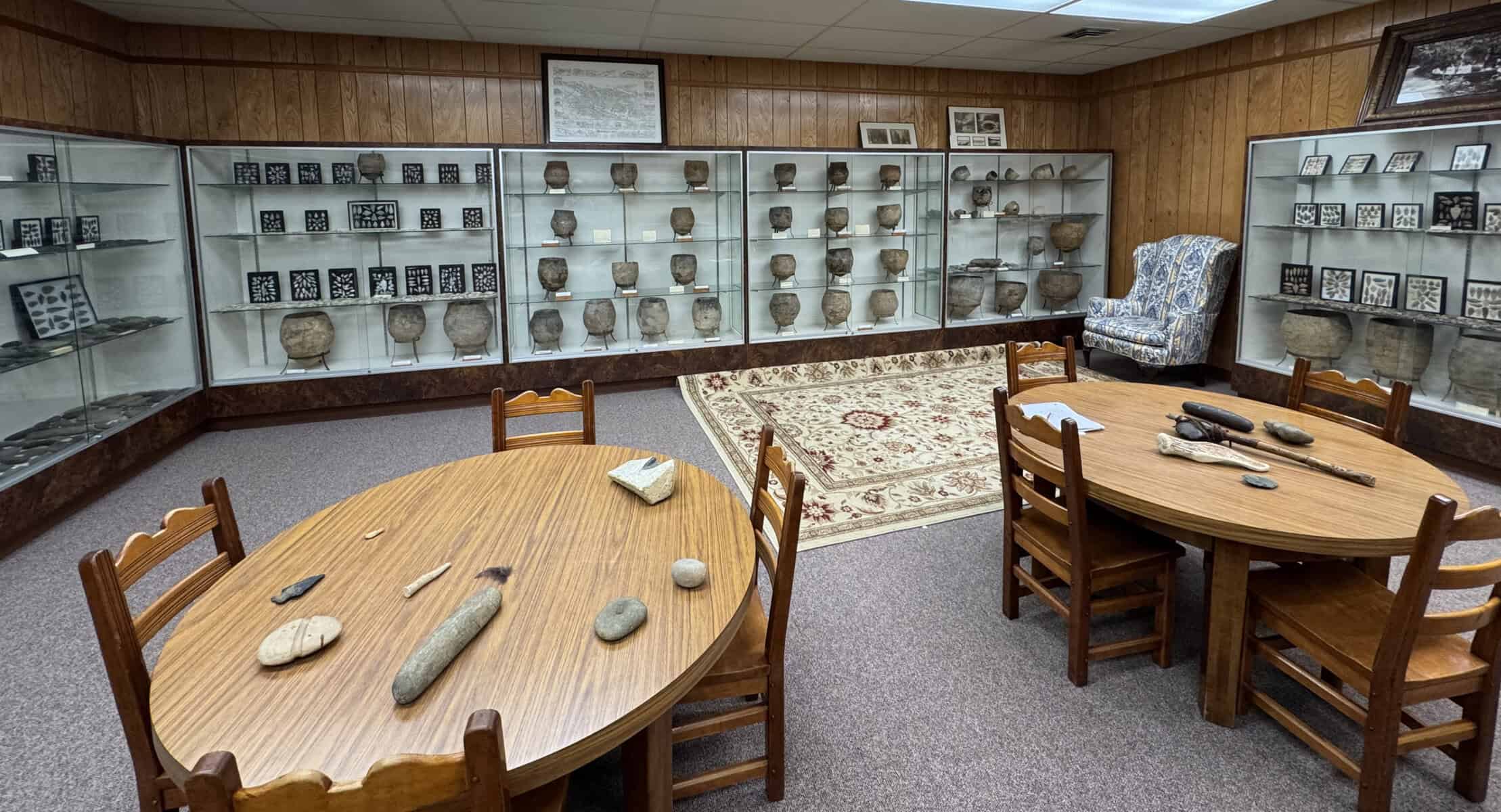
Some years ago, avocational archaeologists found an intact circa 1750 Wistarburg glass mug on the island.
Reference for revolutionary correspondence:
Naval History Heritage Command – Naval Documents of the American Revolution
Vol 4 American Theatre: April 18, 1776 – May 8, 1776 – published electronically by American Naval Records Society, Bolton Landing, NY 2012
https://forums.njpinebarrens.com/threads/tyndall-island-hike-large-scat.6198/