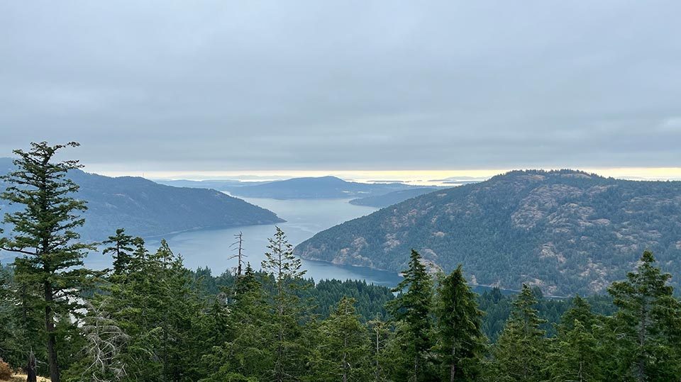
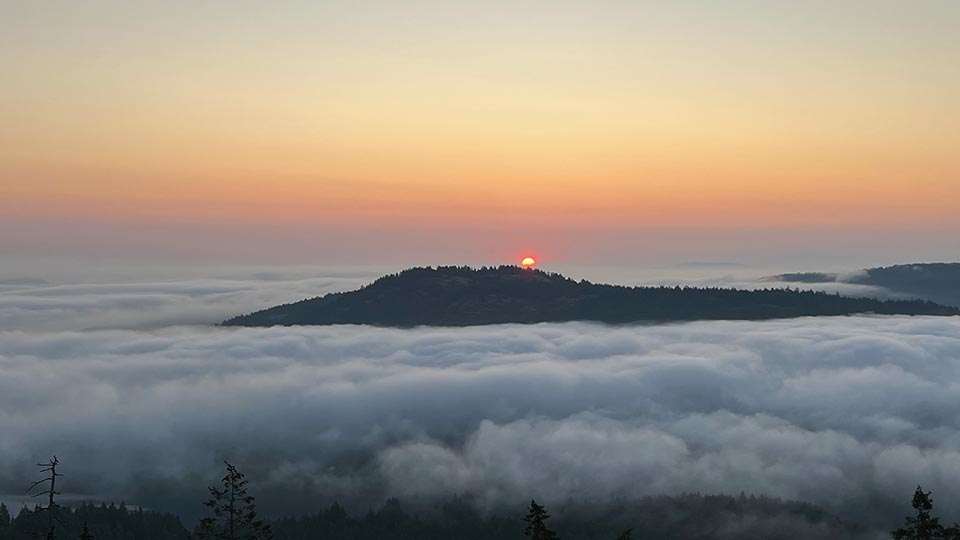
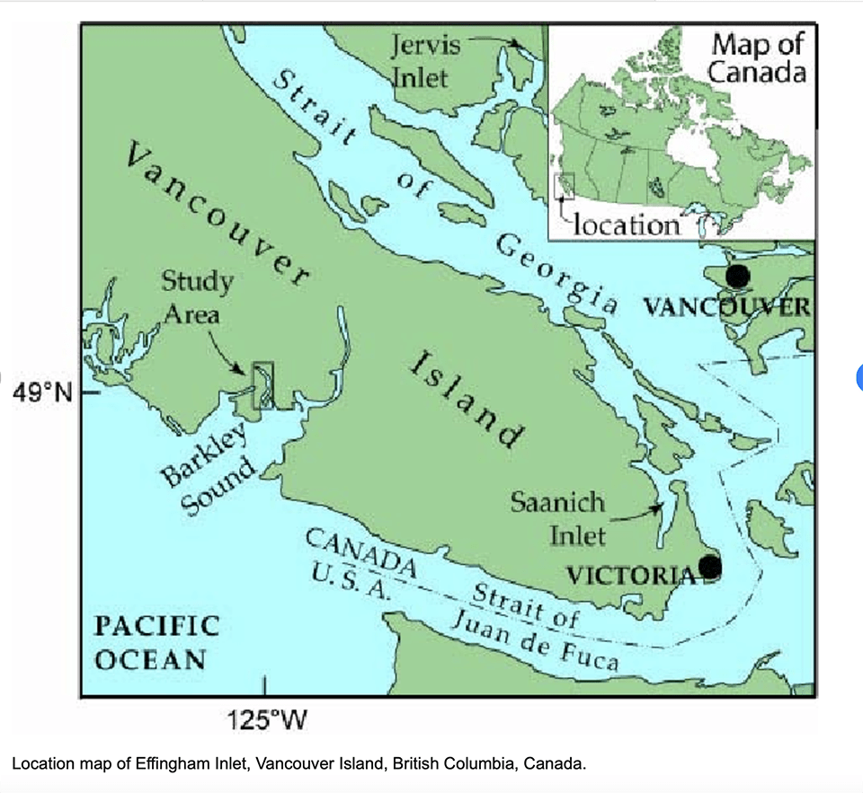
My family recently spent some vacation time on the southeastern end of Vancouver Island, British Columbia, Canada on the Saanich Inlet—where a fjord narrows to Finlayson Arm. The Inlet is west of the San Juan Islands, where currents empty into the Pacific via the Strait of Juan de Fuca.
Some locations on the coastal mountains that encircle the Saanich Inlet include Mill Bay, Malahat, Brentwood Bay, Gowlland Tod and Goldstream Provincial Parks, Willis Point, Coles Bay Regional Park, and the famed Butchart Gardens. The district is considered to be part of Shawnigan Lake, but the lake itself is seven miles away.
I generally think of fjords as being a Norwegian phenomenon (and indeed they are). Yet many people don’t know that the west coast of Canada is one of the world’s major fjord coastlines, boasting 150 fjords that are more commonly referred to as inlets. Canada’s mainland fjords drain the high mountains and ice fields that we generally associate with a fjord’s geology. Conversely, the fjords of Vancouver Island are part of a milder marine climate and rely on heavy autumn and winter rains. Much of coastal Vancouver has rainforests supported by not only precipitation, but also coastal mists that shroud the valleys and fjords.
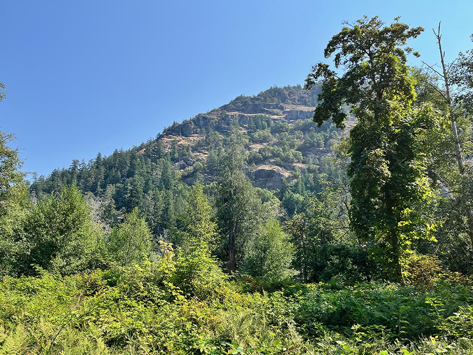
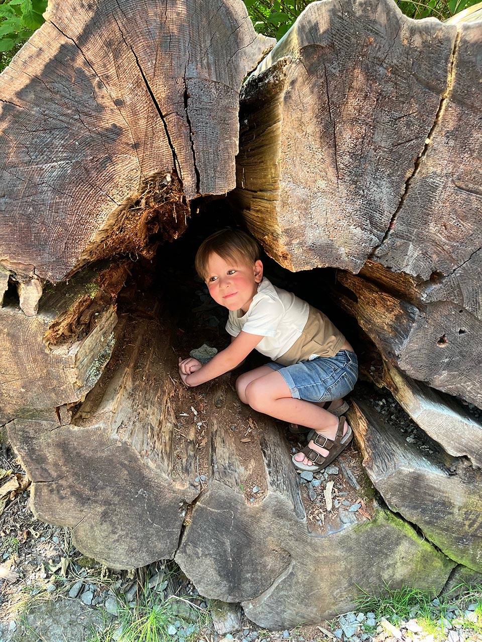
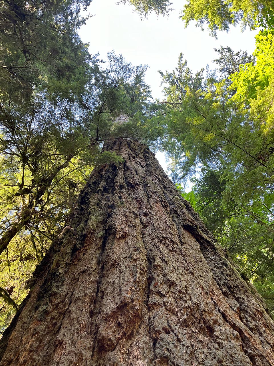
These west coast marine environments and their associated mountains are remnants of a glaciated past. The rainforests produce the huge trees of the Pacific Northwest; we visited Cathedral Grove in MacMillan Park where 390 acres of Douglas fir and ancient western redcedar are commonly 350 years old, with some trees exceeding 800 years of age. One fir has a circumference of 29 ½ feet! A few years ago we visited Olympia National Park on the United States side of the Strait of Juan de Fuca, where we visited their counterpart forests.
The Canadian Park system speaks of their rainforests as the “lungs of the planet,” just as many speak similarly of the Amazon’s rainforest ecosystem.
The Saanich Inlet is 16 miles long and centrally 650 to 770 feet deep, much deeper than the sea beyond. A shallow sill, at 246 feet between the fjord and the seabed, restricts ocean currents from flowing freely into the fjord’s 760 feet of water. Water depth at the fjord’s shoreline rapidly reaches 150 or more. There are very few freshwater creeks flowing into it, which only exacerbates the circulatory condition that the sill creates.
Annually, a mass of plankton dies off and decomposes using up all the oxygen. No life can survive this event. Oxygen is only replaced once a year in the fall when water currents are able to flow into the inlet. At this point marine life flourishes for a few months, until the inlet’s oxygen content is exhausted. This creates an annual “boom and bust” cycle for marine life unique to this ecosystem. Although I can’t say which, if any, other fjords have this same pattern, for decades scientists from around the world have studied the oxygen-free environment of Saanich Inlet for its unique characteristics.
These waters support plankton, bacteria, and microbes. University of Victoria researcher Jeff Sorensen, who studies the Inlet, talks about increasing numbers of dead zones around the world, especially the death of coral reefs due to rising temperatures in the water caused by climate change.
His team looks for clues for survival in a world where human impacts to ecosystems increasingly cause these dead zones. They measure the fjord’s water chemistry for seasonal changes, quantifying the “boom-bust” scenario and creating a profile of the oxygen dynamics within the water system. Since this is a seasonal occurrence, it creates a living laboratory that is not possible in parts of the world where oxygen is depleted in an undefined cycle, often by outside and man-made influences.
When we contrast this with the coastal plain of the United States’ east coast, beginning in southern New Jersey, we can make dramatic comparisons. North of our region we have the rocky carved glacial geology of northern New Jersey and northward to Maine. But the sandy deposition or finds of the glacial period in our region make for a comparatively wide flat river into the Delaware Bay. The Bay has a maximum depth of 148 feet with an average of 26 feet, while the channel is maintained at 40 feet.
The Delaware Bay is approximately 782 square miles in area and here there is ample space for salt and freshwater to mix, forming an estuary—the second largest on our east coast and an important nursery for fisheries. The Bay gets fresh water from the Delaware River and its many tributaries, which helps support an oxygen-rich environment. Oxygen is key to a healthy fishery; however man-made factors can impact the life-giving oxygen. Examples are the diverting of water from the Delaware to another watershed, septic and sewage failures, nitrate-rich runoff from lawns and farms, animal waste, and other pollutants; these can all cause a reduction in oxygen that can in turn create dead zones.
It is worthy of note that the Delaware River Basin Commission (DRBC) regulates the amount of water that is allowed to be withdrawn from the Delaware River and Bay. This authority is a partnership of New Jersey, Pennsylvania, New York, and Delaware. There are many competing interests for this resource, including its function as New York City’s main water supply. Upstream water is stored in reservoirs and can be released during dry periods to bolster flow levels and/or help reduce salinity in the Delaware Estuary to protect drinking water supplies. Delaware River communities to our north purify Delaware water for drinking and the saltwater needs to be kept at bay—no pun intended. The DRBC is charged with trying to maintain a water supply for both people and fisheries so a balance of saltwater and freshwater is needed.
It is my belief that travel gives us a different perspective on ourselves, our resources, and our culture. It is through these experiences that we expand our thinking and explore new ideas. The possibility that discoveries made in a fjord in Canada may offer promise of solutions to worldwide problems such as aquatic dead zones is thought-provoking.
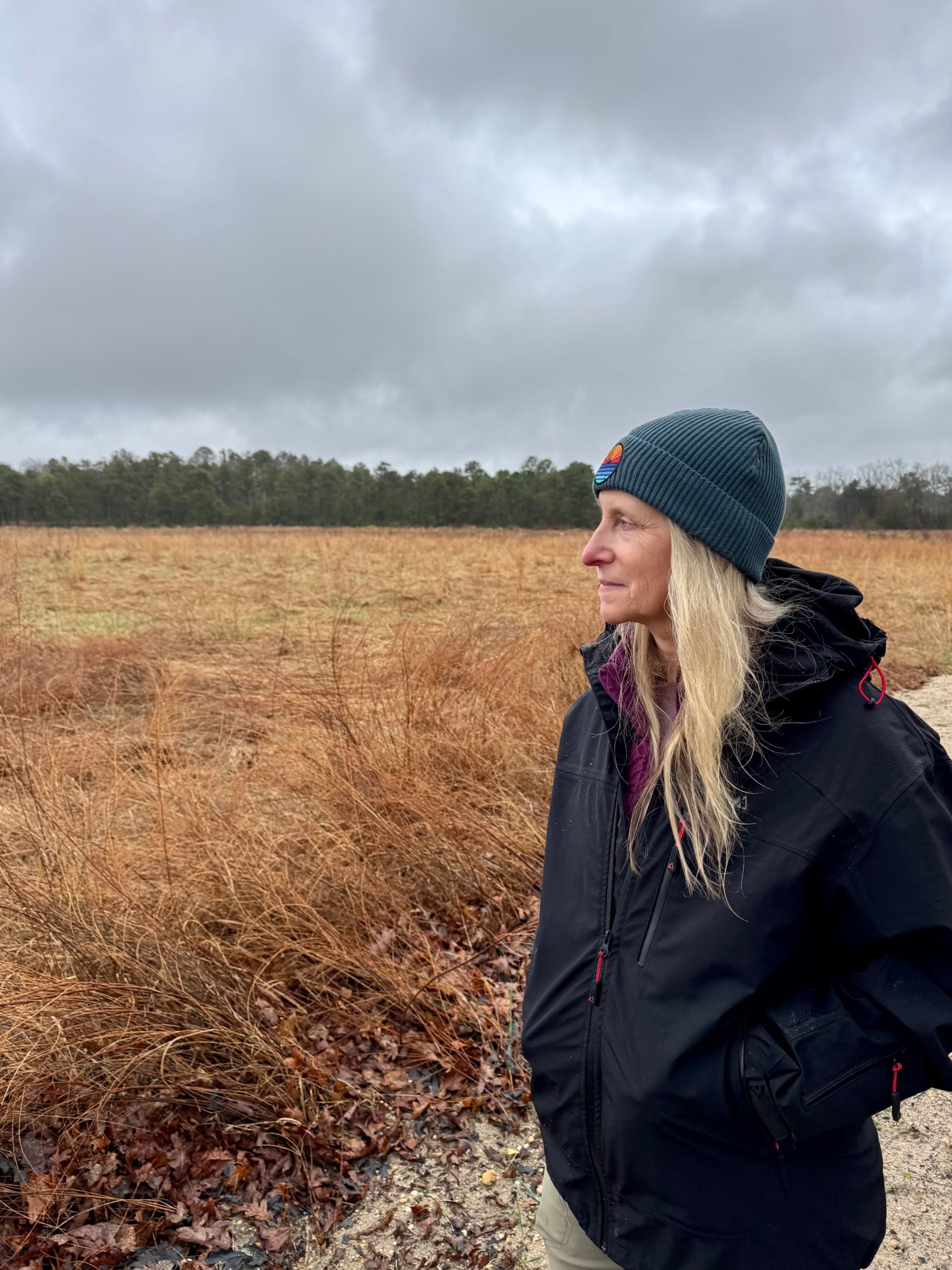
During our Canadian stay we were perched about 1,400 feet above the Finlayson Arm. I noted there were few boats besides the ferry and no crafts appeared to be fishing. From my limited reading it appears that much of the area is a conservation zone for rockfish, and fishing is illegal. We did see what I assumed to be a research vessel.
The southernmost section of the Finlayson Arm is also protected as a quiet zone for eagle recovery. Here we hiked through the Douglas fir and western redcedar trees of Goldstream Provincial Park to this quiet zone’s edge. Where the shoreline met the water we could see the grandeur of the towering mountains above us, encircling the water, but not the secrets that science is only beginning to unravel beneath its surface.
Sources
- University of Victoria (website), Saanich Inlet project sheds light on ocean dead zones.
- Oceanography of Saanich Inlet in Vancouver Island, British Columbia, Author: R. H. Herlinveaux, Canadian Science Publishing.
- Geological Society Publications, Canadian west coast fjords and inlets of the NE Pacific Ocean as depositional archives, A. Dallimore and D. Jmieff.